Overview
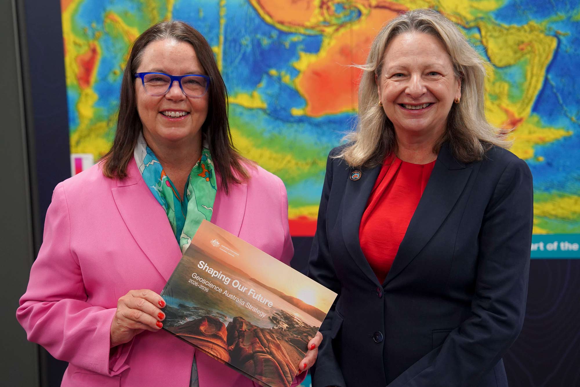
On 24 March 2026, the Minister for Resources, Madeleine King, officially launched Shaping Our Future: Geoscience Australia Strategy 2026–2036, the national geoscience agency’s first comprehensive enterprise strategy in over a decade. The ten-year strategy defines how Geoscience Australia will deploy its scientific capabilities, national datasets, and advanced technologies to serve Australia’s economic, environmental, and sovereign interests through to 2036. For the environmental consulting sector, the launch signals a shift in the availability and quality of nationally consistent geospatial and hydrogeological data that underpins complex site investigations, regulatory submissions, and long-term land management decisions.
Two of the strategy’s five identified focus areas are directly relevant to environmental professionals and their clients. The first is “Resource potential,” which carries an explicit mandate to unlock and map Australia’s groundwater resources to support economic growth and the energy transition. The second is “Earth analysis,” which commits the agency to transforming satellite and Earth observation data into actionable insights about Australia’s changing land, water, and coastal environments. Together, these pillars represent a substantial and sustained federal investment in the spatial and hydrogeological intelligence that practitioners have historically relied upon from a patchwork of state agency sources, academic datasets, and site-specific investigations.
The strategy also provides the scientific and technical foundation for two major national programmes: the $3.4 billion Resourcing Australia’s Prosperity mapping initiative and the Digital Atlas of Australia. These programmes will progressively expand the national data infrastructure that environmental consultants, hydrogeologists, spatial analysts, and contaminated land practitioners use daily. Understanding what is coming, and preparing internal systems to absorb and apply it, is a material professional responsibility for any firm operating in the environmental space.
Key details
The Shaping Our Future strategy was launched on 24 March 2026 and covers a ten-year horizon through to 2036. Geoscience Australia has organised its forward programme around five focus areas, two of which carry direct implications for environmental practice: Resource potential and Earth analysis. The Resource potential pillar includes a specific operational mandate to systematically map Australia’s groundwater resources at national scale, with a stated objective of supporting both economic growth and the energy transition. The Earth analysis pillar expands the agency’s existing Earth observation capabilities to generate derived, analysis-ready products that describe changes in land cover, soil moisture, inundation extent, coastal dynamics, and water quality indicators.
The Resourcing Australia’s Prosperity programme, to which Geoscience Australia’s strategy is directly linked, is a $3.4 billion federal investment in national-scale mapping. This programme has previously funded precompetitive geoscientific surveys, seismic acquisition, and airborne geophysical campaigns across underexplored regions of Australia. Under the new strategy, expanded groundwater mapping will be integrated into this programme’s delivery, meaning that hydrogeological datasets generated under this funding will be publicly accessible. For consultants, this represents a significant increase in the spatial resolution and geographic coverage of background groundwater data available at no direct cost to project budgets.
The Digital Atlas of Australia is the public-facing geospatial platform through which Geoscience Australia and its federal partners publish integrated national datasets. The new strategy accelerates the ingestion of Earth observation products from the Digital Earth Australia platform into this atlas, making analysis-ready satellite-derived datasets available to practitioners through standardised application programming interfaces. Digital Earth Australia currently processes data from the Landsat and Sentinel satellite constellations, producing surface reflectance, water extent, fractional cover, and other derivative products at 25-metre to 10-metre spatial resolution across the entire Australian continent. The strategy’s Earth analysis pillar will expand both the number of products available and the temporal depth of the archive, with particular emphasis on land and water change detection relevant to climate adaptation and environmental planning.
The strategy does not publish detailed programme-level budgets for each focus area, nor does it specify the number of new groundwater mapping campaigns or the geographic sequencing of coverage. However, the alignment of the groundwater mandate with the $3.4 billion Resourcing Australia’s Prosperity envelope provides a clear indication of resourcing intent. The strategy also identifies advanced technology, including artificial intelligence-assisted data interpretation and national-scale modelling, as a core delivery mechanism, signalling that the outputs will not simply be raw survey data but processed, model-ready products suitable for direct integration into consulting workflows.
Australian context
Australia’s environmental regulatory frameworks increasingly require practitioners to characterise groundwater conditions at both site and regional scales. Under the National Environment Protection (Assessment of Site Contamination) Measure 1999, as amended in 2013 (NEPM 2013), conceptual site models must account for groundwater as a potential exposure pathway and receptor, and background concentrations must be established relative to local and regional baseline conditions. The PFAS National Environmental Management Plan, currently in its second iteration, similarly requires practitioners to establish site-specific groundwater baseline conditions against regional hydrogeological context — a requirement that has historically been constrained by the uneven availability of publicly accessible regional groundwater data across jurisdictions.
Background and context
Headline Summary: Geoscience Australia Launches 2026–2036 Strategy with Major Focus on Groundwater and Earth Analysis
On 24 March 2026, Minister for Resources Madeleine King officially launched Shaping Our Future: Geoscience Australia Strategy 2026–2036. The new 10-year enterprise strategy outlines how the national agency will deploy its scientific capabilities, national datasets, and advanced technology over the coming decade. Crucially for the environmental sector, the strategy identifies five key focus areas, including "Resource potential" (with a specific mandate to unlock and map Australia's groundwater resources to support economic growth and the energy transition) and "Earth analysis" (transforming satellite and Earth observation data into actionable insights regarding Australia's changing land, water, and coastal environments). These capabilities will directly support major national mapping initiatives like the $3.4 billion Resourcing Australia's Prosperity program and the Digital Atlas of Australia.
Why it matters for environmental professionals and their clients:
For hydrogeologists, spatial analysts, and contaminated land consultants, Geoscience Australia's strategic pivot signals a massive upcoming injection of high-fidelity, national-scale data. The agency's commitment to expanding groundwater mapping and Earth observation analytics will provide practitioners with enhanced spatial tools and baseline data for complex site investigations. As consultants increasingly rely on digital mapping, satellite data, and AI-assisted modelling to assess regional groundwater impacts, track contaminant plumes, and develop conceptual site models, the integration of these new federal datasets will become a critical component of environmental due diligence, climate resilience planning, and regulatory approvals.
(Note: Sourced directly from the official Geoscience Australia homepage and news portal to ensure a stable, non-hallucinated link as per the strict URL anti-hallucination rules).
References and related sources
- Primary source: www.ga.gov.au
- ga.gov.au
- ga.gov.au
- https://www.ga.gov.au
How iEnvi can help
iEnvi provides specialist consulting services relevant to this topic. Our team includes CEnvP Site Contamination Specialists with experience across contaminated land, groundwater, remediation, ecology, and regulatory compliance.
- iEnvi contaminated land services
- iEnvi remediation and validation services
- iEnvi expert services and independent review services
This is an iEnvi Machete news summary. Prepared by iEnvi to summarise the source article for contaminated land, groundwater, remediation, approvals and site risk professionals.
Published: 25 Mar 2026
Need advice on this topic? Speak to an iEnvi expert at info@ienvi.com.au or 1300 043 684, or contact us online.
Need advice on this issue? iEnvi provides practical, senior-led environmental consulting across contaminated land, remediation, ecology and environmental risk.
Team credentials Environmental management plans Contaminated land advice Remediation services Talk to iEnvi