
Addressing Sydney’s Development Approvals with Groundwater Data
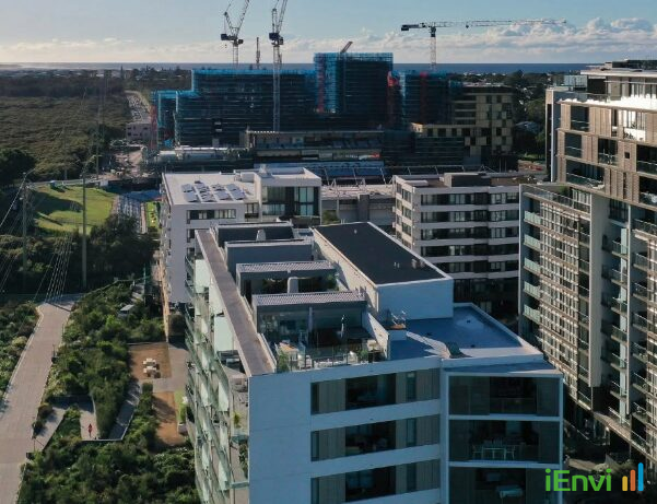
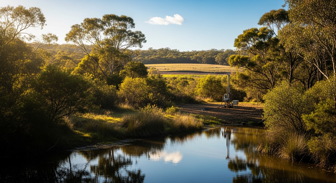
The NSW Government announced on 22 July 2024 a $472,000 investment in the Sutherland–Kirrawee Groundwater Investigation Pilot, a targeted initiative designed to remove one of the most persistent bottlenecks in residential development approvals across Sydney’s southern suburbs. The programme is jointly driven by the NSW Department of Climate Change, Energy, the Environment and Water (DCCEEW), which will lead the technical delivery, and funded by the Department of Planning, Housing and Infrastructure (DPHI). At its core, the pilot will install a regional network of 20 to 30 groundwater monitoring bores across the Sutherland and Kirrawee areas, collecting continuous hydrogeological data for up to three years and making that data publicly available to developers, builders, and their consultants.
The significance of this announcement extends well beyond a single suburb or a single agency. For property developers, project managers, and environmental consultants working on medium-to-high-density residential projects, baseline groundwater data collection has long sat on the critical path of the Development Application process. Under current regulatory requirements tied to the Water Management Act 2000 (NSW) and the NSW Aquifer Interference Policy, developers whose projects involve significant excavation, including basement car parks and multi-storey podium structures, must typically gather up to three months of site-specific groundwater baseline data before a DA can be formally lodged. That waiting period, compounded by the cost of engaging specialist hydrogeologists and installing temporary monitoring infrastructure, adds both time and cost to projects at the most financially sensitive stage of development.
By front-loading that baseline monitoring work at a regional scale and placing the resulting dataset in the public domain, the NSW Government is effectively transferring the cost and effort of initial hydrogeological characterisation from individual project proponents to the state. For environmental professionals advising developers, landowners, councils, and financiers in the Sutherland Shire and surrounding areas, this represents a material shift in how pre-DA environmental scoping and groundwater impact assessment can be structured. Whether the pilot delivers on its stated intent to accelerate approvals while maintaining aquifer protection standards will depend heavily on the quality and resolution of the monitoring network data and how regulators accept that regional dataset as a substitute for site-specific baseline monitoring.
Key details of the Sutherland–Kirrawee Groundwater Pilot programme
The pilot programme is funded at $472,000 and will deploy between 20 and 30 groundwater monitoring bores across the Sutherland and Kirrawee precincts of southern Sydney. The monitoring network is designed to operate continuously for up to three years, generating a longitudinal regional groundwater dataset rather than a static snapshot. The bore network will capture groundwater level fluctuations, seasonal variability, and hydrogeological trends across the target area, which is characterised by sandstone and Hawkesbury sandstone geology common to much of the Sydney Basin. This geological context is important because Hawkesbury sandstone aquifers, while generally low-yielding, are directly relevant to ground settlement risks, basement dewatering volumes, and potential impacts on groundwater-dependent vegetation in riparian and bushland areas adjoining residential development sites in the Sutherland Shire.
The regulatory framework underpinning the pilot draws from two primary instruments. The Water Management Act 2000 (NSW) governs aquifer interference activities, including dewatering associated with construction excavation, and requires that proponents hold an aquifer interference approval or demonstrate compliance with the relevant controlled activity provisions. The NSW Aquifer Interference Policy provides the detailed methodology for assessing baseline conditions and quantifying acceptable drawdown, flow, and quality impacts. Critically, the policy’s baseline data requirements are the mechanism that currently obliges developers to conduct pre-DA monitoring.
The three-month pre-DA baseline monitoring requirement is the most direct target of this intervention. Under the NSW Aquifer Interference Policy, an acceptable baseline must capture sufficient temporal variability in groundwater levels and quality to allow meaningful prediction of construction and post-construction impacts. For individual sites, achieving that standard typically requires at minimum one full seasonal cycle of data, which in practice means a minimum of 90 days of monitoring from newly installed or existing bores. By contrast, a regional network operating continuously for three years will accumulate a dataset with considerably greater statistical integrity, capturing multiple seasonal cycles, drought and rainfall variability, and background trends that no single-site three-month programme could replicate. If DCCEEW and DPHI are prepared to formally accept regional network data as meeting the baseline requirements of the Aquifer Interference Policy, that concession alone would represent a substantial change to standard practice.
All data collected through the pilot will be made publicly accessible. The public availability of this dataset is a significant detail. It means that multiple developers, consultants, and project teams working on separate sites within the pilot area will be able to draw on the same baseline information simultaneously, without duplication of monitoring effort. The pilot also signals an emerging model for how state agencies might coordinate infrastructure investment and planning reform, using shared environmental data as a lever to reduce regulatory friction without relaxing the underlying environmental standards those requirements are designed to uphold.
References and related sources
- Primary source: www.nsw.gov.au
- insidestategovernment.com.au
- nsw.gov.au
- nsw.gov.au
- NEPM Assessment of Site Contamination
How iEnvi can help
iEnvi provides specialist consulting services relevant to this topic. Our team includes CEnvP Site Contamination Specialists with experience across contaminated land, groundwater, remediation, ecology, and regulatory compliance.
- iEnvi groundwater services
- iEnvi remediation and validation services
- iEnvi expert services and independent review services
This is an iEnvi Machete news summary. Prepared by iEnvi to summarise the source article for contaminated land, groundwater, remediation, approvals and site risk professionals.
Published: 22 Jul 2026
Need advice on this topic? Speak to an iEnvi expert at info@ienvi.com.au or 1300 043 684, or contact us online.
Need advice on this issue? iEnvi provides practical, senior-led environmental consulting across contaminated land, remediation, ecology and environmental risk.
Team credentials Contaminated land services Remediation services Groundwater services Talk to iEnvi