
Unauthorised Saline Water Discharge Detected via Satellite in WA
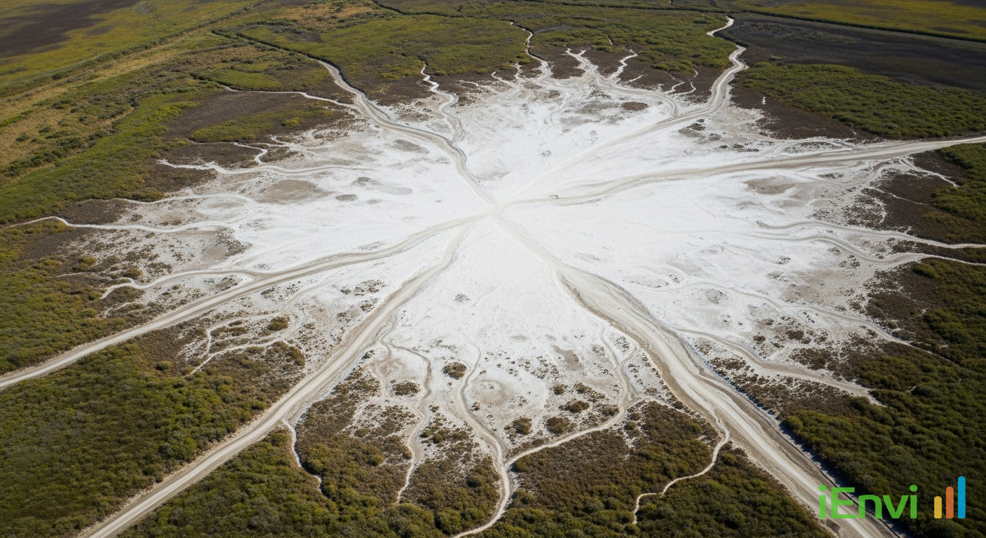
On 28 July 2023, the Western Australian Department of Energy, Mines, Industry Regulation and Safety (DEMIRS) issued an immediate Stop Work Order against a mining tenement holder operating in the Phillips River region, following the detection of unauthorised saline groundwater discharge onto native vegetation and critical rehabilitation materials. The enforcement action is notable not simply for the violation itself, but for the method by which it was detected and retrospectively documented. DEMIRS environmental officers deployed satellite remote sensing technology, specifically Normalised Difference Moisture Index (NDMI) analysis derived from multispectral satellite imagery, to establish a time-stamped digital record of the discharge event. That analysis revealed the discharge had been occurring for approximately two months before any physical inspection took place, ultimately impacting 23 hectares of land.
The tenement holder subsequently admitted to deliberately discharging the groundwater without notifying the department. Their stated reason was insufficient on-site storage capacity and a desire to avoid halting mining operations. This disclosure placed the operator in direct breach of their tenement conditions and exposed them to enforcement under the Mining Act 1978 (WA) and the Environmental Protection Act 1986 (WA). The Stop Work Order immediately suspended operations across the tenement, with the capacity to cause far greater financial and operational disruption than any short-term production delay would have produced.
For environmental professionals advising mining operators, developers, and project financiers across Australia, this case marks a clear shift in how regulators establish non-compliance. The integration of satellite remote sensing into routine compliance monitoring means that unauthorised site activities, whether water discharge, vegetation clearing, or disturbance beyond an approved envelope, can be detected, timestamped, and used as evidence without any physical presence on site. That has direct implications for how environmental management plans are written, how water management contingencies are structured, and how client risk is communicated during project approvals and ongoing operations.
Key details of the Phillips River Stop Work Order and NDMI enforcement methodology
The discharge event centred on highly saline groundwater being released from mining operations directly into an area of native vegetation within and adjacent to the approved disturbance envelope. The saline water inundated topsoil stockpiles that had been set aside specifically for progressive rehabilitation works, spread beyond the project’s approved disturbance boundary, and caused visible adverse impacts to the surrounding native ecosystem. The total area affected, as established through NDMI satellite analysis, was 23 hectares. This is not a trivial disturbance footprint; at that scale, the loss of viable topsoil and the degradation of native vegetation structure represent a material setback to any mine closure and rehabilitation programme.
NDMI is calculated using near-infrared and shortwave infrared bands from multispectral satellite sensors. The index responds sensitively to changes in vegetation canopy water content and surface moisture conditions, making it effective for identifying anomalous wet areas in landscapes that are otherwise dry or semi-arid. In this case, DEMIRS officers used NDMI data to work backwards through the satellite archive and identify precisely when moisture anomalies consistent with water discharge first appeared at the site. This retrospective capacity is the critical point for operators and their advisers: the satellite record does not begin when a regulator decides to look. It exists continuously, and any historical period can be interrogated at any time.
The regulatory basis for the Stop Work Order draws on both the Mining Act 1978 (WA) and Mining Regulations 1981 (WA), which set the conditions under which tenement holders must operate and report. Discharge of water outside an approved management area and beyond the approved disturbance envelope constitutes a breach of tenement conditions. The Environmental Protection Act 1986 (WA) is also relevant, particularly under its Part IV and Part V frameworks, which govern unauthorised clearing of native vegetation and discharge of pollutants in ways that are harmful to the environment. The deliberate decision not to notify the department compounds the regulatory exposure considerably, as voluntary disclosure and early engagement are typically weighted favourably in enforcement outcomes under WA’s compliance and enforcement frameworks.
From a soil science and rehabilitation perspective, the consequences of saline water inundation of topsoil stockpiles are well understood. Elevated salinity increases the osmotic potential of soil water, reducing its availability to plant roots and creating conditions that many native species cannot tolerate. The viable seed bank within stockpiled topsoil, which is a carefully managed resource in mine rehabilitation programmes, is particularly vulnerable. Seeds exposed to saline conditions for extended periods suffer reduced germination rates and, in severe cases, complete loss of viability. Rebuilding a functional topsoil resource suitable for native revegetation is costly, time-consuming, and subject to regulatory approval of alternative sourcing strategies. The two-month duration of the discharge, established through NDMI analysis, is long enough to have caused substantial and potentially irreversible damage to stored topsoil across a 23-hectare impact area.
Australian regulatory context: satellite compliance monitoring and water management obligations at mining operations
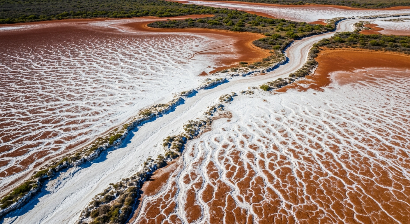
This enforcement action reflects a broader trend across Australian mining and environmental regulators towards integrating satellite-based remote sensing into compliance monitoring programmes. Where physical inspections were once the primary means of detecting site-level non-compliance, regulators now have access to continuous, spatially detailed records of land surface conditions that can be analysed retrospectively without prior notice to operators. For mining tenement holders and their environmental advisers, this shift has practical consequences: the assumption that a discharge event, an unauthorised clearance, or a disturbance beyond an approved envelope will go undetected unless someone is present on site no longer holds. The evidentiary standard available to regulators has changed materially, and environmental management strategies need to reflect that reality.
References and related sources
- Primary source: www.wa.gov.au
- epa.wa.gov.au
- NEPM Assessment of Site Contamination
How iEnvi can help
iEnvi provides specialist consulting services relevant to this topic. Our team includes CEnvP Site Contamination Specialists with experience across contaminated land, groundwater, remediation, ecology, and regulatory compliance.
- iEnvi groundwater services
- iEnvi remediation and validation services
- iEnvi expert services and independent review services
This is an iEnvi Machete news summary. Prepared by iEnvi to summarise the source article for contaminated land, groundwater, remediation, approvals and site risk professionals.
Published: 30 Jul 2026
Need advice on this topic? Speak to an iEnvi expert at info@ienvi.com.au or 1300 043 684, or contact us online.
Need advice on this issue? iEnvi provides practical, senior-led environmental consulting across contaminated land, remediation, ecology and environmental risk.
Team credentials Environmental management plans Contaminated land services Remediation services Talk to iEnvi