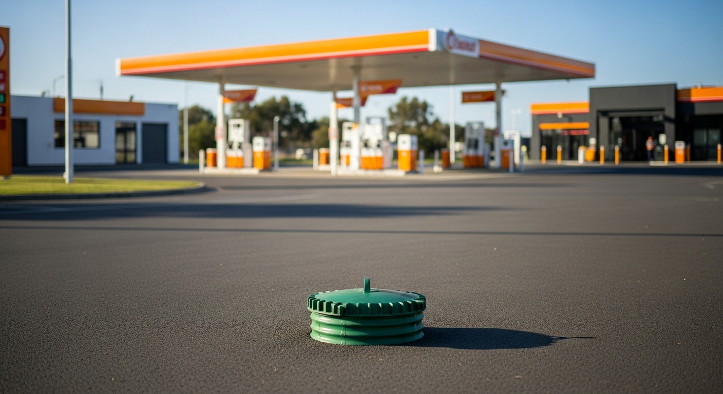
What’s involved in a delineation and hydrogeological assessment at a contaminated service station?
A delineation and hydrogeological assessment identifies the full extent of soil and groundwater contamination. It also characterises how groundwater moves beneath a site. At a former service station, with decades of fuel history and a known LNAPL plume, this investigation used monitoring wells, soil vapour sampling, and slug tests. These methods mapped the contamination extent and estimated plume migration rates.
By Michael Nicholls, Managing Director, iEnvironmental Australia. CEnvP Site Contamination Specialist.
The Problem
Decades of service station operations leave their mark underground. Old petroleum storage tanks had been leaking long enough to trigger EPA Victoria notification thresholds for dissolved hydrocarbons and light non-aqueous phase liquid (LNAPL). LNAPL is that floating layer of fuel product that sits on top of the water table. When the tenancy ended and ownership changed, the new property owner needed to properly understand what was beneath the forecourt before planning what came next.
Previous investigations by multiple consultants had built up a picture of soil and groundwater contamination. However, gaps remained, particularly at the site boundary and in the downgradient direction. Data gaps mean liability gaps. The owner needed both closed.
Project Summary
iEnvi completed a comprehensive Further Groundwater Investigation. This work targeted the key data gaps. The fieldwork involved sampling and gauging all monitoring wells as part of a six-monthly programme. It also included collecting 12 primary groundwater samples using the Hydrasleeve low-flow method. Slug tests were conducted to measure hydraulic conductivity and characterise the aquifer. Soil vapour samples were collected from dedicated probes across the site.
The key finding was that hydrocarbon concentrations are declining. This indicates that natural attenuation is occurring. The hydraulic gradient beneath the site is notably flat at 0.0017 m/m. This means groundwater, and the contamination it carries, moves slowly. At an estimated velocity of 4.48 metres per year, the nearest surface waterway, approximately 615 metres away, is projected to be reached in roughly 137 years. The current underground petroleum storage system was confirmed as not contributing to ongoing contamination. This followed Equipment Integrity Tests in 2021 and 2024.
LNAPL, a mixture of petrol and diesel, remains present near the southern site boundary in four monitoring wells. It acts as a secondary source of dissolved hydrocarbons. Minor data gaps were identified at the northeast boundary regarding vapour intrusion risks for nearby residences.
Solution & Benefit
With a detailed hydrogeological picture now in hand, the property owner can move forward with a Remediation Action Plan. This plan targets LNAPL removal, additional boundary monitoring wells, and potentially multiphase extraction to accelerate cleanup. The investigation confirmed that risks to nearby receptors are manageable under a Long-Term Environmental Management Plan. Natural attenuation is actively reducing concentrations, and the science now backs that up with real data. The owner has a clear, evidence-based path from contaminated liability to compliant land management.
Related services
Contaminated land investigations | Groundwater and hydrogeological services | Remediation services | Talk to iEnvi
For innovative solutions that are focussed on giving you the very best outcome, contact our expert team of environmental consultants today.
Need advice on this issue? iEnvi provides practical, senior-led environmental consulting across contaminated land, remediation, ecology and environmental risk.
Contaminated land services Remediation services Groundwater services Environmental management Talk to iEnvi