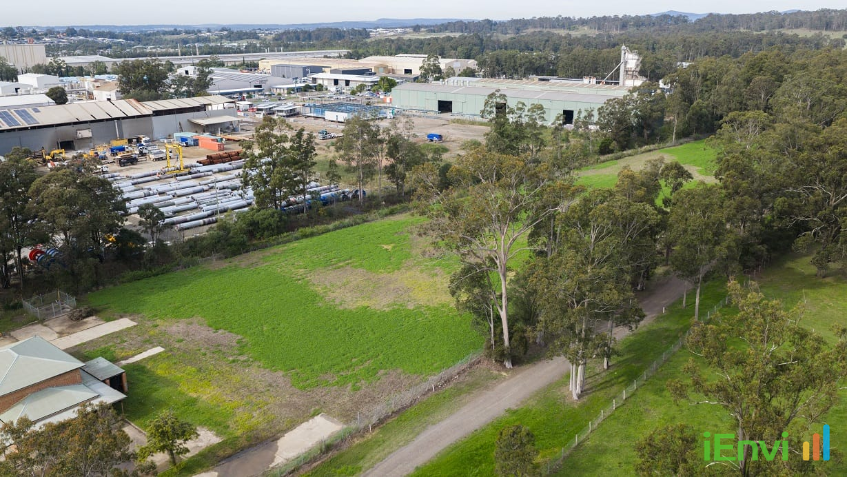
$19M Remediation of Rutherford’s Abandoned Truegain Site Officially Completed for Commercial Reuse
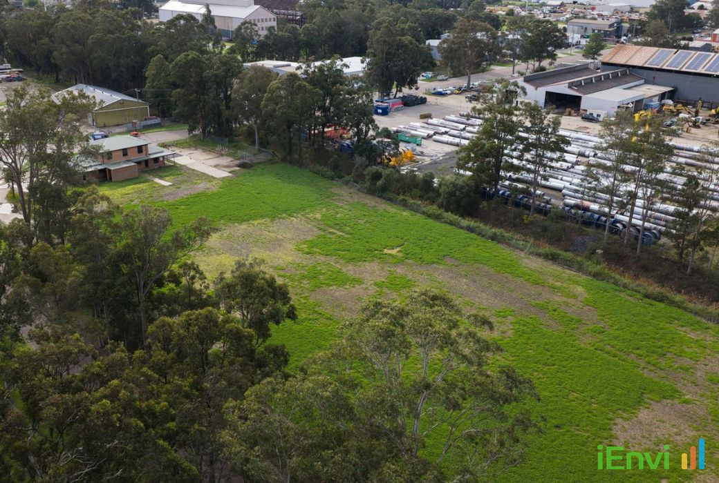
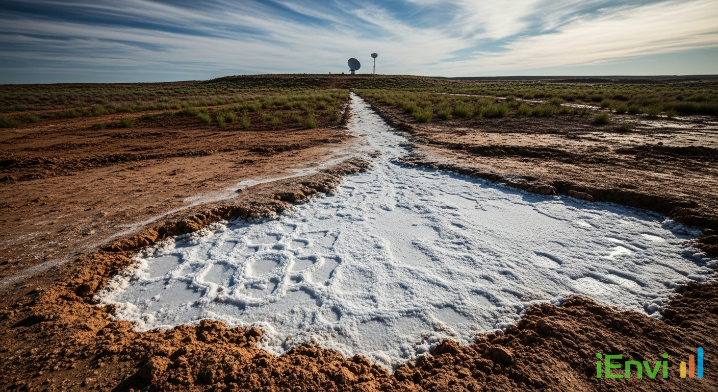
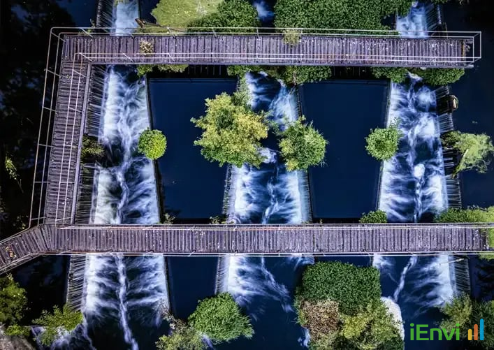
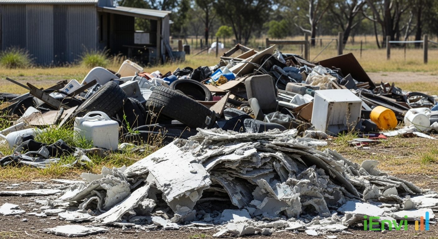
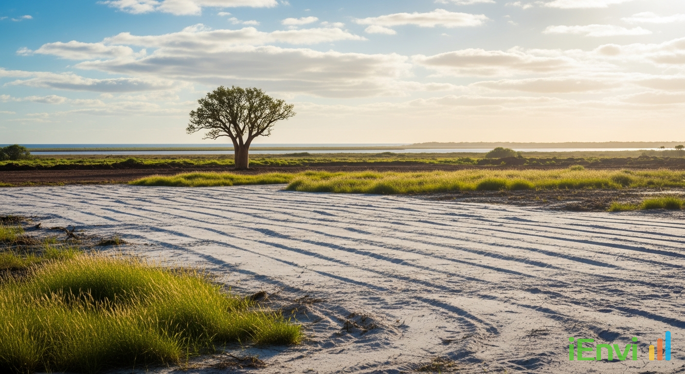
🏗️ Great to see Property and Development NSW and the Waste Assets Management Corporation complete the $19 million remediation of the former Truegain site in Rutherford.